NCTIR
See how NCTIR used 12d Synergy to deliver BIM with a CDE, enable remote collaboration and a single source of truth across 300+ projects during the Kaikoura recovery.
This article explores how Southern Land implemented 12d Synergy to achieve enhanced data control, a centralised, reliable remote work platform, and increased productivity.
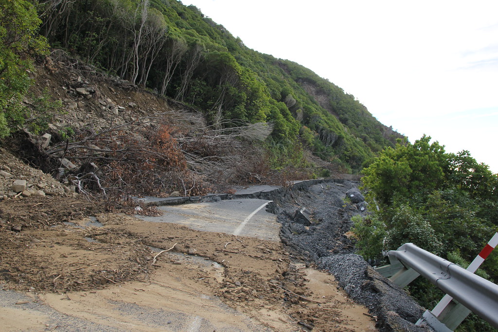
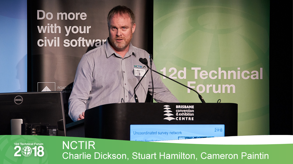
Watch: NCTIR (New Zealand) - Teaser - 12d Technical Forum 2018 TWO minutes after midnight on the 14th November 2016, New Zealand was violently rocked awake by a...
Christchurch company Eliot Sinclair led the charge and implemented 12d Synergy with all of their staff, both technical and administrative to manage their project files, tasks and email correspondence.
"From a user’s point of view the integration into Microsoft office products, email client and 12d Model is seamless. At a click of a buttom emails are stored and retrieved and documents checked in and out from the database. Being able to access the information store from any computer that has the client application installed and connection to the internet is brilliant. The task scheduling features that allow assigning work to team members and dend out reminders and track progress are one of the latest additions."
Clark Land Surveyors is a surveying and land development consultancy, based in Christchurch, New Zealand. The company undertakes a range of work, from subdivisions to...
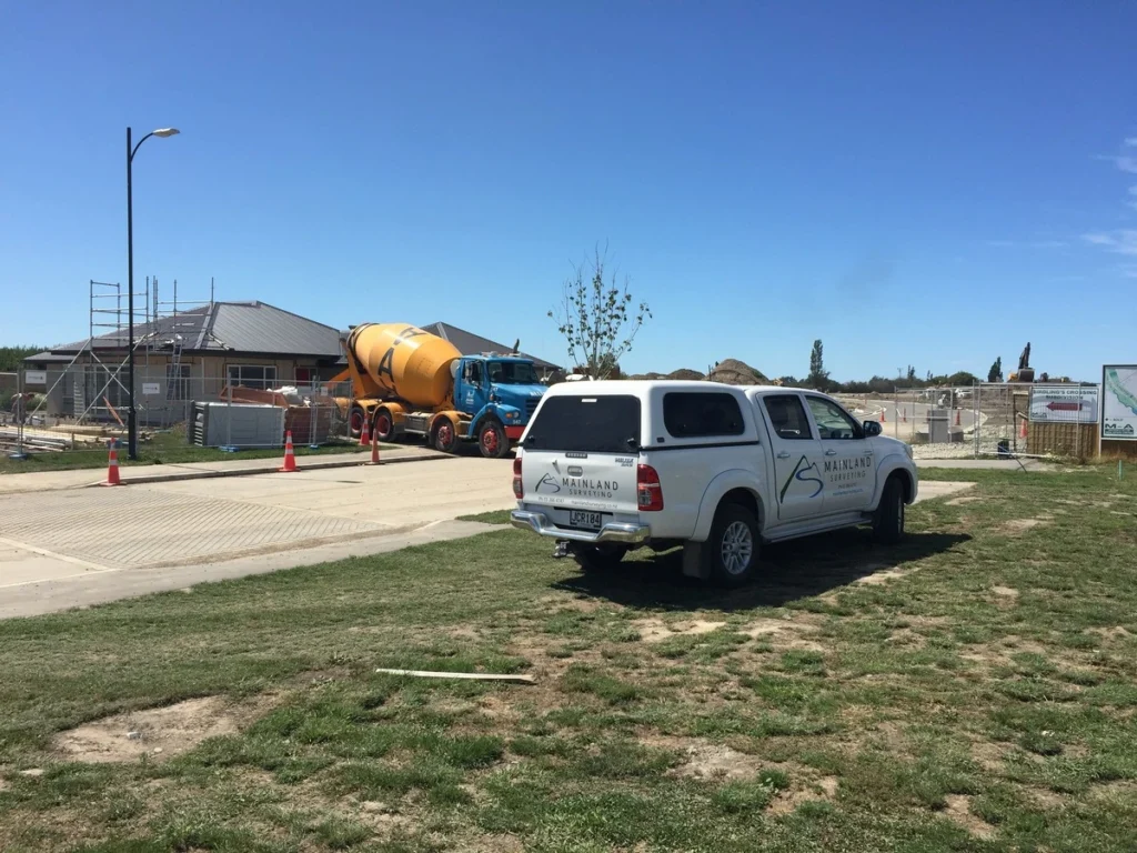
Mainland Surveying needed a system that could centralise their data and files and handle the complexities that comes with geospatial software.
They were impressed that 12d Synergy was able to handle the heavy-duty software they use, including 12d Model, a multi-file piece of software which they produce a lot of data related to topographical maps, plans, subdivisions and buildings and infrastructure development.