Information Management Across the Asset Lifecycle
Register to watch for free
Tom Neighbours is a Digital Engineering Specialist at 12d Synergy, specialising in digital information management and geospatial data delivery. He brings experience across GIS, survey, and engineering in New Zealand, the UK, Europe, and the Middle East, including six years at Aurecon focused on BIM, spatial data management, and geospatial consulting.

Tom Neighbours
Digital Engineering Specialist, 12d Synergy
Session Overview
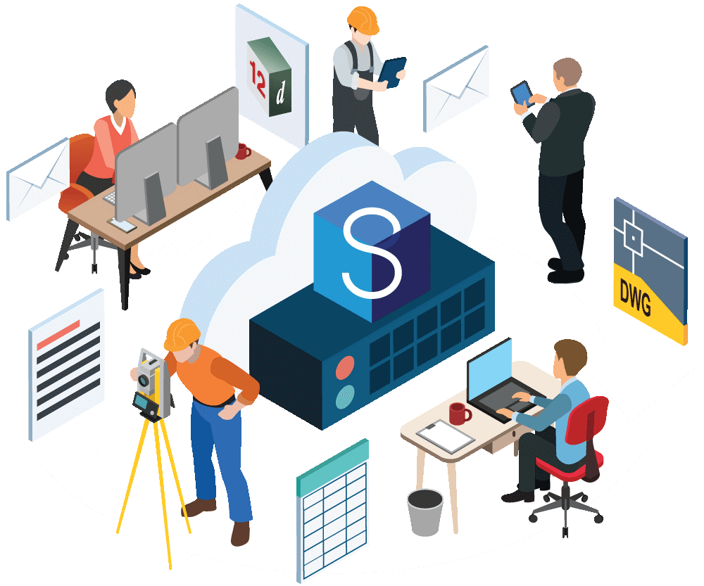
Explore the complexities and challenges of information management across the asset lifecycle within the digital engineering and construction industry in an insightful session with Tom Neighbours, Digital Engineering Specialist at 12d Synergy. This webinar explores practical solutions for overcoming data interoperability and how effective data management can help build and retain asset value throughout the project lifecycle. You’ll also learn about the role of GIS in project management, and the impact of industry-wide standards like ISO 19650. The ultimate goal? Seamless collaboration across multiple platforms, phases, and disciplines.
What You’ll Learn
- Tips for effectively managing assets across the entire project lifecycle
- The keys to successful information management, ensuring consistent data management across different platforms and software
- Navigating the complexities of data interoperability in multi-disciplinary projects
- Understanding and implementing standards like ISO 19650 for project efficiency
- Leveraging GIS and 12d Synergy for enhanced asset lifecycle management and value
Tom Neighbours
Digital Engineering Specialist, 12d Synergy
Tom Neighbours is a Digital Engineering Specialist at 12d Synergy, specialising in digital information management and geospatial data delivery. He brings experience across GIS, survey, and engineering in New Zealand, the UK, Europe, and the Middle East, including six years at Aurecon focused on BIM, spatial data management, and geospatial consulting.
Related Webinars

From Paper to Connected: Modernising On-Site Data
Learn how 12d Synergy Forms eliminates paper, manual re-entry, and data gaps for site teams. Timestamped records, photo capture, and QR codes.

Don’t let the human side of implementation derail your project. Terry Tran shares real-world strategies for stakeholder alignment, adoption, and change management.

Streamlining Survey Workflows: Leica Geosystems and 12d Synergy in Action
How connecting Leica GeoCloud and 12d Synergy creates a single source of truth across field instruments, survey data, and project documentation.