Surveying 2.0: The Evolution of the Surveyor
Register to watch for free
Graham Wirth is Product Manager at 12d Solutions, with over 40 years’ experience in the civil construction industry. He specialises in digital infrastructure, surveying, and project management software, and works closely with survey instrument manufacturers, hardware suppliers, and the 12d Solutions R&D team to develop field solutions for civil contractors, consultants, and government departments.

Graham Wirth
Product Manager, 12d Solutions
Session Overview
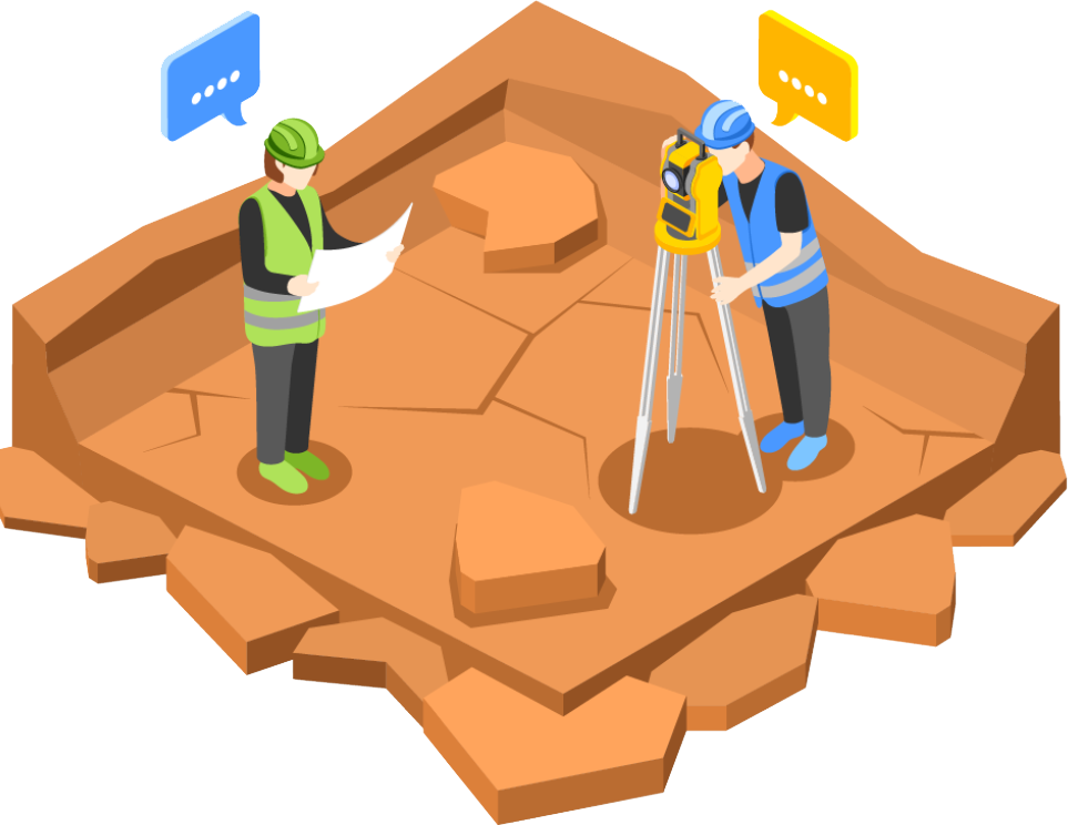
The future of surveying is here. As the profession transforms from traditional fieldwork to advanced data management, surveyors are finding that this adaptation is not just beneficial—it’s essential. This session explores the evolution of the surveyor’s role and how technologies like 12d Model and 12d Synergy are at the forefront of this transformation, enhancing survey accuracy and efficiency. Discover how these tools facilitate seamless project delivery and foster collaboration, setting new standards in civil engineering and construction project management. Gain actionable insights into adapting and thriving in this data-centric surveying landscape.
What You’ll Learn
- Why surveyors need sophisticated data management skills to stay relevant in the evolving industry.
- The transformation of the surveyor’s role from traditional field surveying to data managers.
- Techniques for overcoming the challenge of managing large data from multiple sources.
- How tools like 12d Model, 12d Synergy, and 12d Field are changing the game for surveyors.
- Emerging trends & technologies that will continue to define the future of surveying.
Graham Wirth
Product Manager, 12d Solutions
Graham Wirth is Product Manager at 12d Solutions, with over 40 years’ experience in the civil construction industry. He specialises in digital infrastructure, surveying, and project management software, and works closely with survey instrument manufacturers, hardware suppliers, and the 12d Solutions R&D team to develop field solutions for civil contractors, consultants, and government departments.
Related Webinars

From Paper to Connected: Modernising On-Site Data
Learn how 12d Synergy Forms eliminates paper, manual re-entry, and data gaps for site teams. Timestamped records, photo capture, and QR codes.

Streamlining Survey Workflows: Leica Geosystems and 12d Synergy in Action
How connecting Leica GeoCloud and 12d Synergy creates a single source of truth across field instruments, survey data, and project documentation.

Leading Through a Construction Boom in the Middle of a Skills Shortage
Learn how ESO Surveyors is tackling South Australia’s infrastructure boom amid service data risks, tight deadlines and a surveying skills shortage.